Vanier North and Vanier South
Vanier lies on the east bank of the Rideau River, across from Lowertown and Sandy Hill. In 1908 the communities of Janeville, Clarkstown and Clandeboye joined to form the village of Eastview, which was incorporated as a town in 1913. It became a city in 1963 and was renamed Vanier in 1969, after Governor General Georges Vanier. The city amalgamated into Ottawa in 2001. This guide uses two Ottawa Neighbourhood Study areas: Vanier North (10,495 residents in 2021) and Vanier South (7,325 residents in 2021).
The Vanier area has 2 neighbourhoods: Vanier North and Vanier South.
Updated · Facts on this page link to their sources
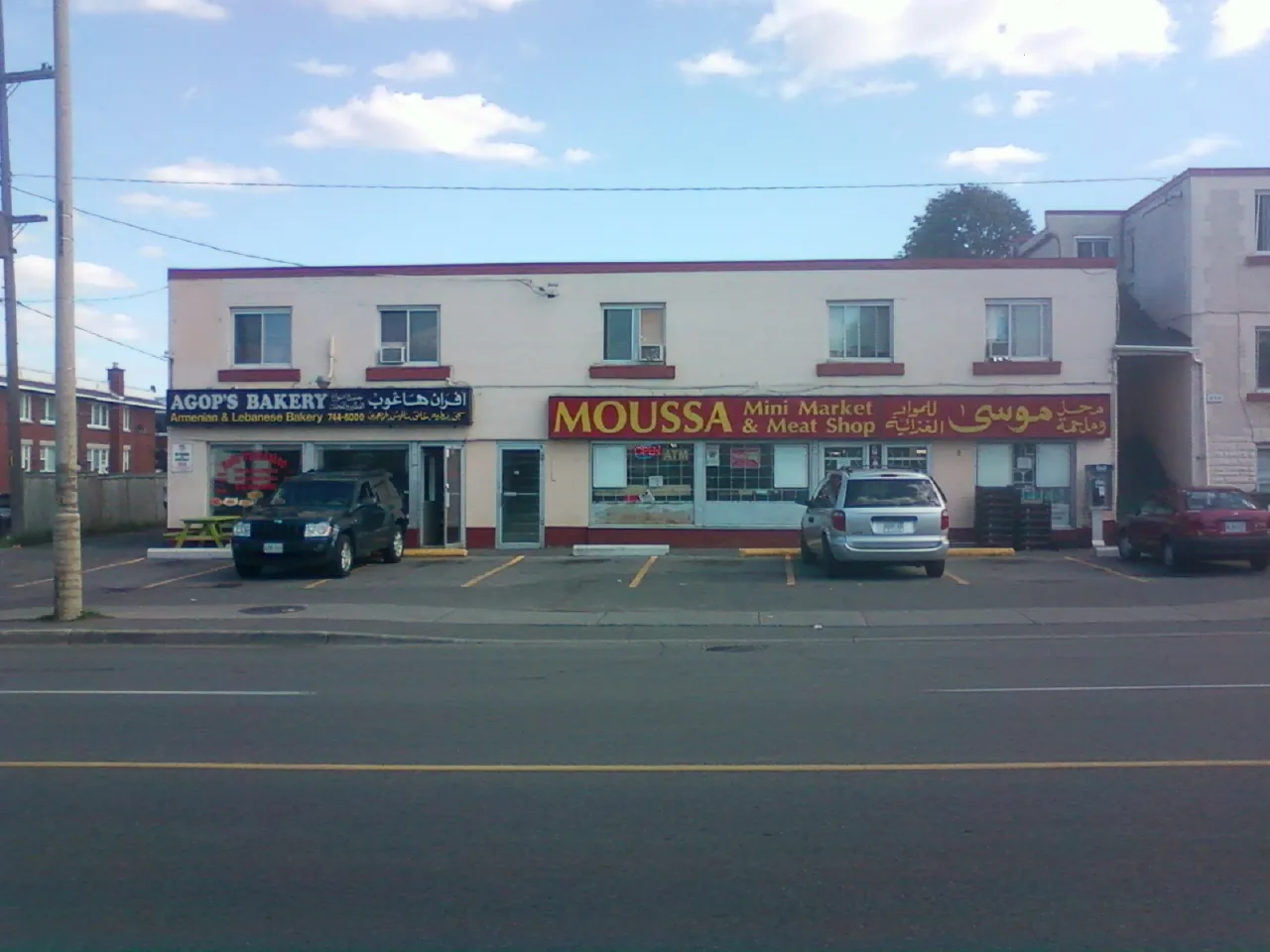
Arabic inscriptions on shops in McArthur Avenur, Vanier, Ottawa. Summer 2011. Photo: Dmitri Lytov, CC BY-SA 3.0, via Wikimedia Commons 01Vanier North
Vanier North is the larger of the two Vanier areas, with a younger median age and a higher share of children than Vanier South.
This is the Ottawa Neighbourhood Study area called Vanier North.
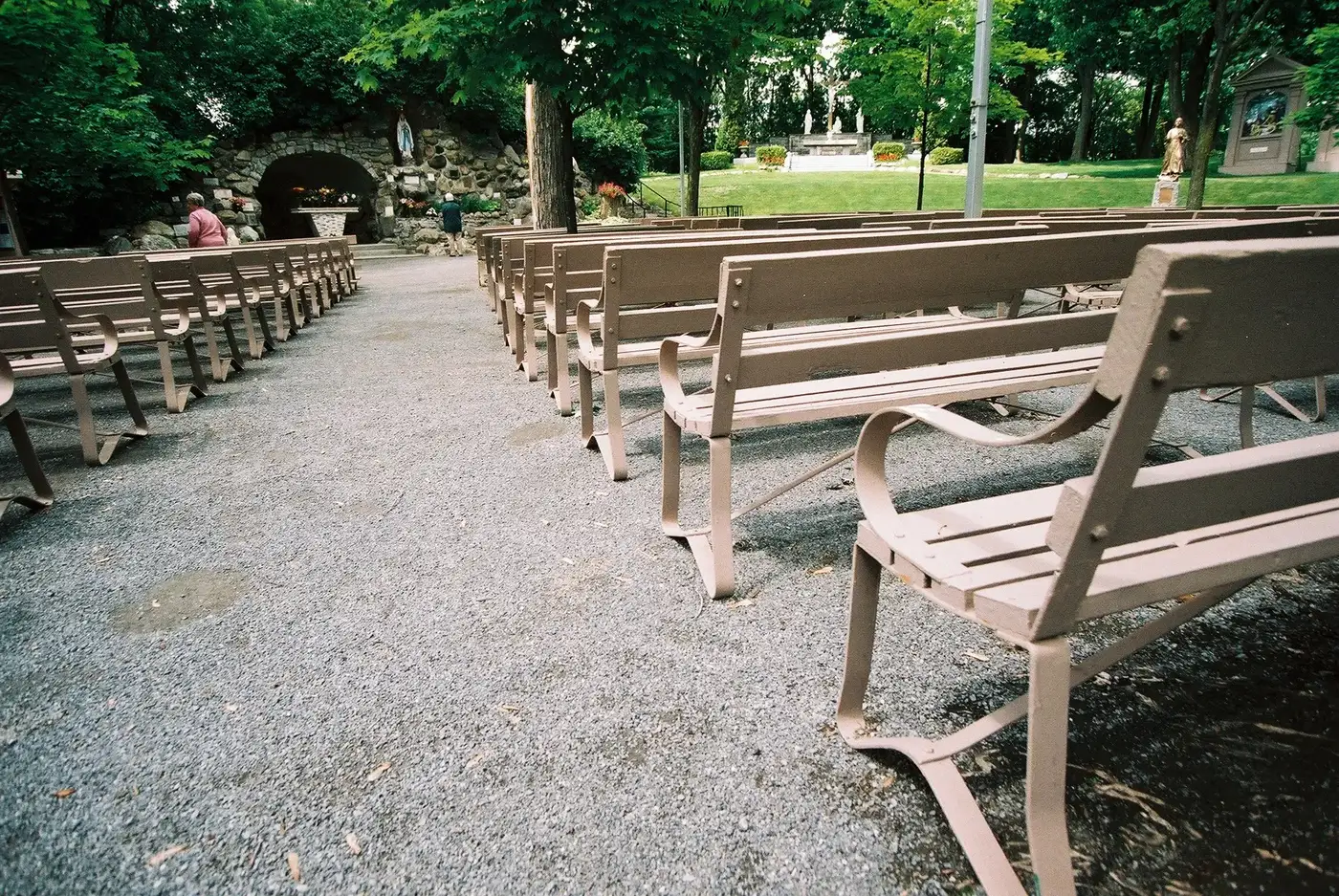
Grotte des Lourdes de Benoit Aubry Ottawa. Photo: Benoit Aubry of Ottawa, CC BY-SA 3.0, via Wikimedia Commons 02Vanier South
Vanier South is the smaller of the two Vanier areas, with an older median age and the higher share of renter households.
This is the Ottawa Neighbourhood Study area called Vanier South.
Quick answers
Short answers first; each links to the full answer and its sources.
Is Vanier a good place to live?
Whether Vanier suits you depends on what you want from a neighbourhood. The public data describes a compact east-end area about 3.4 km in a straight line from Parliament Hill, where most households rent and the average Walk Score is 70 to 71. In the 2021 census, via the Ottawa Neighbourhood Study, Vanier North and Vanier South together had 17,820 residents.
As of 2026-10 · ons-sqo.ca ons-sqo.ca
Where is Vanier in Ottawa?
Vanier is in the east end of Ottawa, on the east bank of the Rideau River, across from Lowertown and Sandy Hill. According to Wikipedia it sits just south of Rockcliffe Park, New Edinburgh, Lindenlea and Manor Park, with Gloucester suburbs to the east. Per City of Ottawa ward data, October 2026, it is in Ward 12 (Rideau-Vanier).
As of 2026-10 · en.wikipedia.org maps.ottawa.ca
How far is Vanier from downtown Ottawa?
Vanier is about 3.4 km from downtown Ottawa in a straight line, measured to Parliament Hill from the centres of both Vanier North and Vanier South. Road, bus or train distances will be longer than this straight-line figure.
As of 2026-10 · en.wikipedia.org wikidata.org
Are there French-language schools in Vanier?
Yes. City of Ottawa data lists seven French-language schools near Vanier: four from CÉPEO and three from CECCE. Elementary schools include Trille-des-Bois and Mauril Bélanger (CÉPEO) and Horizon-Jeunesse (CECCE), and secondary options include De la Salle Public High School (CÉPEO).
As of 2026-10 · maps.ottawa.ca en.wikipedia.org
Which high schools are near Vanier?
Secondary schools near Vanier in City of Ottawa data include Ottawa Technical Secondary School (OCDSB, English), De la Salle Public High School (CÉPEO, French) and the independent St-Laurent Academy. Ottawa Technical Secondary School is 1.1 km from Vanier South's centre and De la Salle is 1.7 km from Vanier North's centre, both straight-line.
As of 2026-10 · maps.ottawa.ca
What are homes like in Vanier?
Most homes in Vanier are apartments or flats rather than houses. In the 2021 census, via the Ottawa Neighbourhood Study, apartments in buildings under five storeys were 45.0% of dwellings in Vanier North and 48.9% in Vanier South, and single-detached houses were 13.3% and 10.4%.
As of 2026-10 · ons-sqo.ca ons-sqo.ca